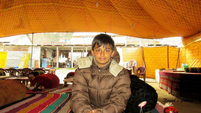
Date: 24th September 2015
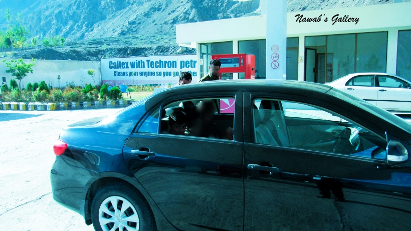
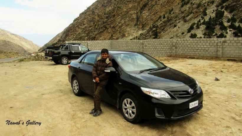
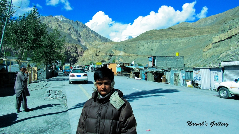
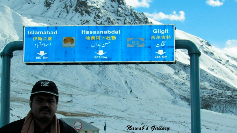
Today is a great day, today we have to reach our main aim and final destination of Khunjerab Pass, the Pakistan-China border. The break of the day was cold, we took our luggage and proceeded to the restaurant for breakfast. After the breakfast, we went on the roof of the hotel for the tea and enjoy the spectacular beauty of the surrounding. For our trip to Khunjerab, we hired the same jeep from “Mountain Gems & Jewels” by which we went to Attaabad Lake, Hoper and Altit.
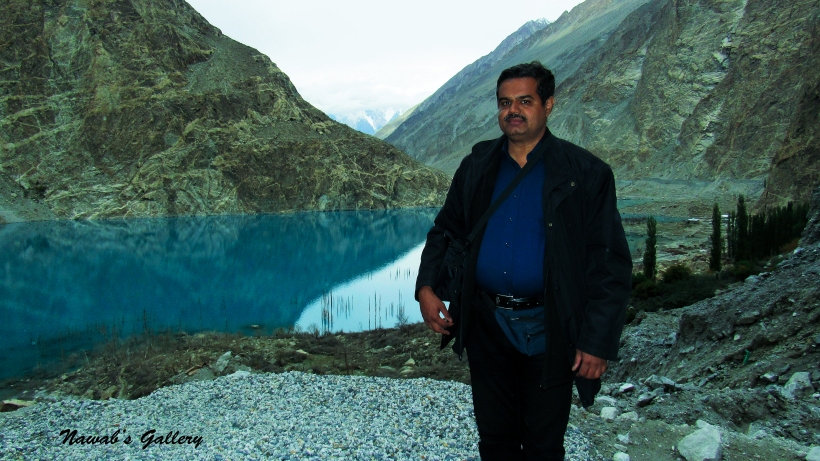
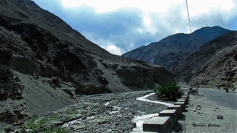
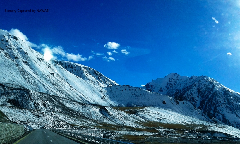
The route to Khunjerab is via Attabad Lake. Attabad Lake is a lake in the Gojal Valley of Gilgit-Baltistan and was formed due a massive landslide at the Attabad Village in January 2010. The landslide created a large dam and blocked the flow of the Hunza River resulting in a formation of 24KM long and 100 meters deep lake, at an altitude of about 2700m surrounded by 6000m-7000m peaks and glaciers. The 19KM (12 miles) part of Karakorum Highway, linking Pakistan and China, was also buried and inundated due to this landslide. The area behind Attabad including Gojal, Passu, Gulmit, Sust, and Khunjerab are totally cut off from rest of Pakistan. The only method to go to the other side is by boats operating at Attabad Lake. And due to this, all goods have to be unloaded and loaded on each side of the lake as there is no other means through the mountains, adding additional cost to the trader’s goods.
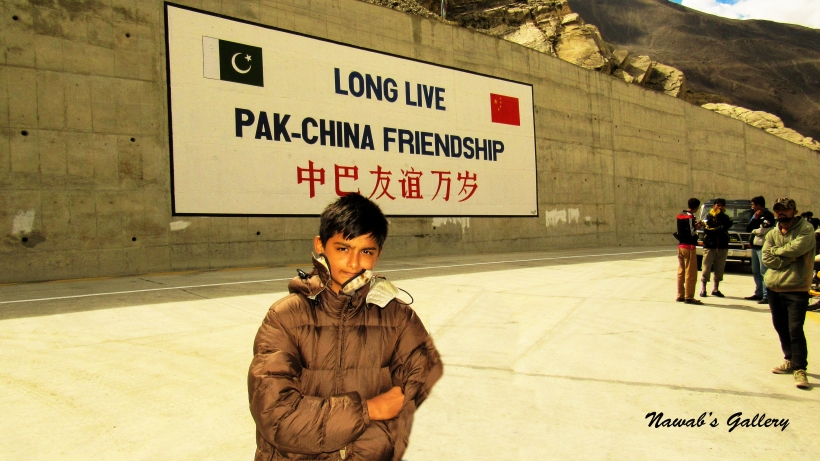
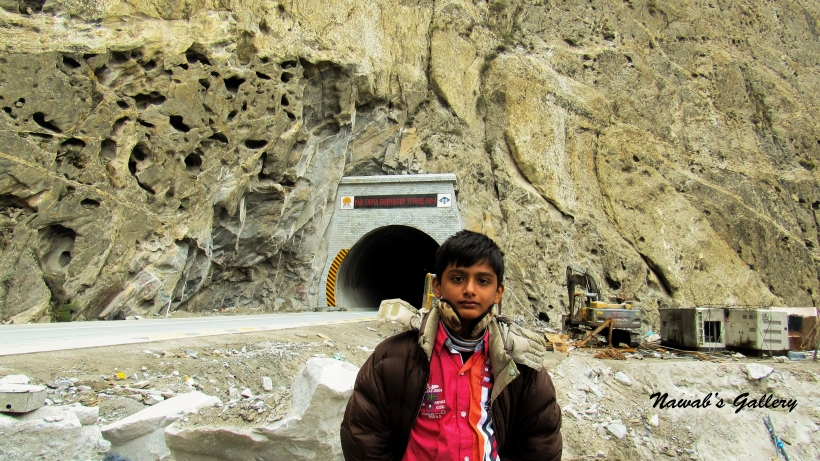
The Government of Pakistan in collaboration with the Government of China started work on the realignment of 24 KM long patch of the Karakoram Highway and was open for the transportation on 14th September 2015. The realignment project is a construction masterpiece consisting of five tunnels with a total length of seven kilometers, two bridges, and 78 culverts. The project restored the road link between Pakistan and China and have been named as Pakistan-China Friendship Tunnels.
At the time we were visiting that area the realignment project was in its final stages and the tunnels are operational only during the specific period of time for the traffic. To reach Khunjerab it is necessary that we have to pass through Attabad Tunnel and for that we have to wait for the tunnel opening time.
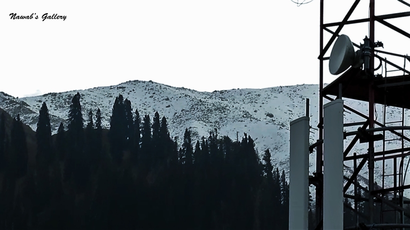
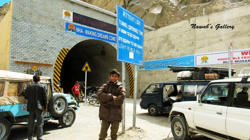
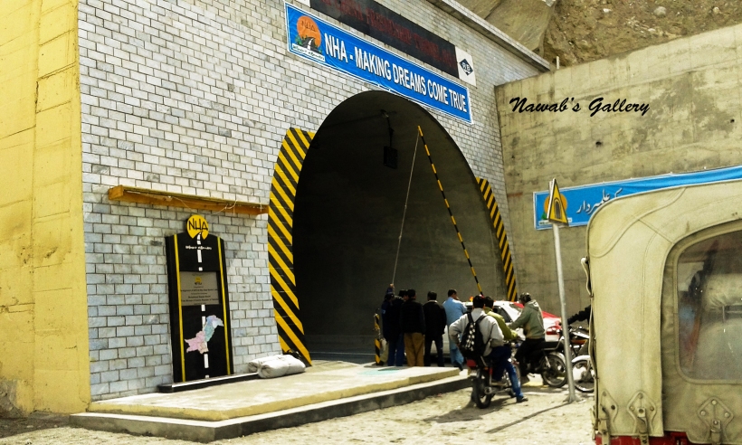
Our jeep arrived at about 10:00 AM to pick us up for the journey. Breaking off at different locations we reached Attabad Tunnel after nearly 40 minutes. The tunnel is still closed for the traffic as we had arrived before the tunnel opening time. During that time, we wandered around in the area and capture some photographs. We have to wait longer for the tunnel to open as there was some clearance work still in progress and instead of 11:00 AM the tunnel opens at 11:30 AM. Our journey begins again and we move in the first tunnel, the tunnel was dark as lighting work still needs to be installed in the tunnel, and to furnish the electricity for lighting in the tunnel a solar farm is built near the tunnel.
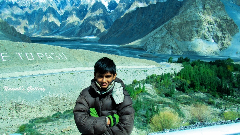
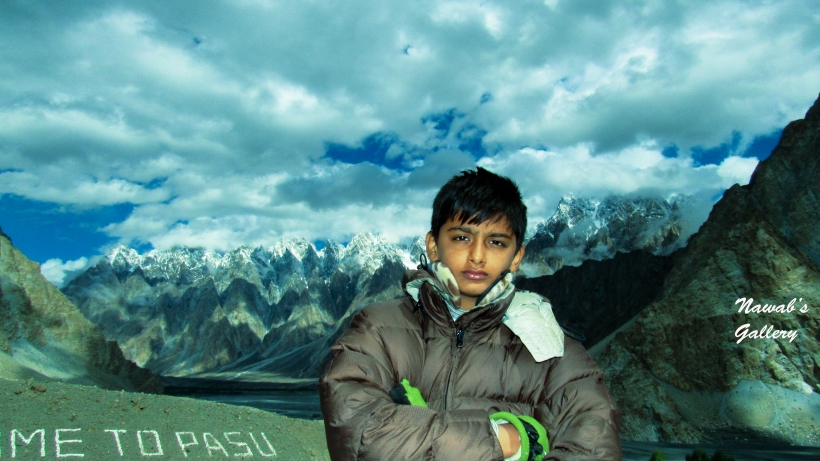
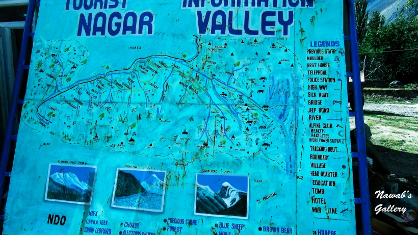
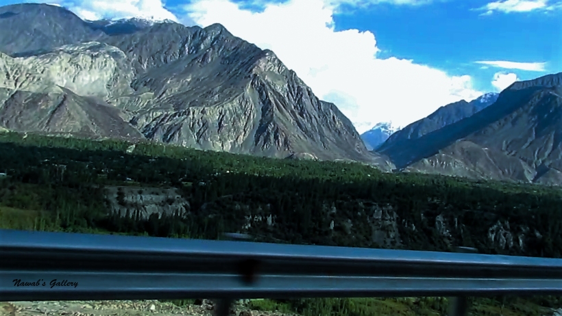
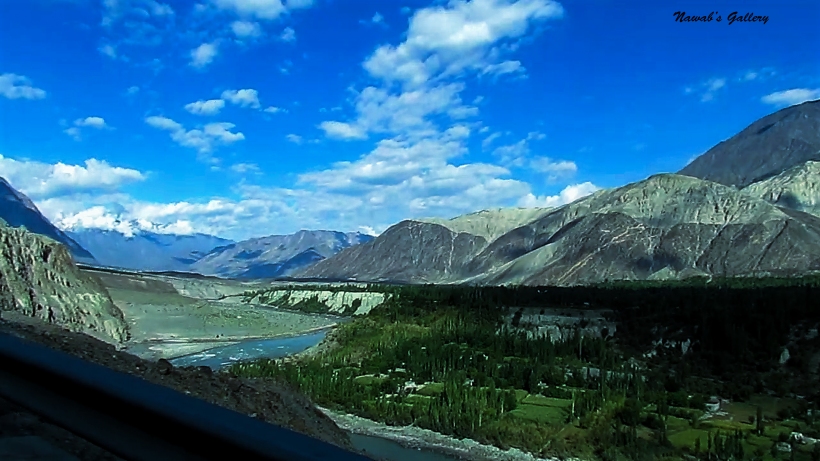
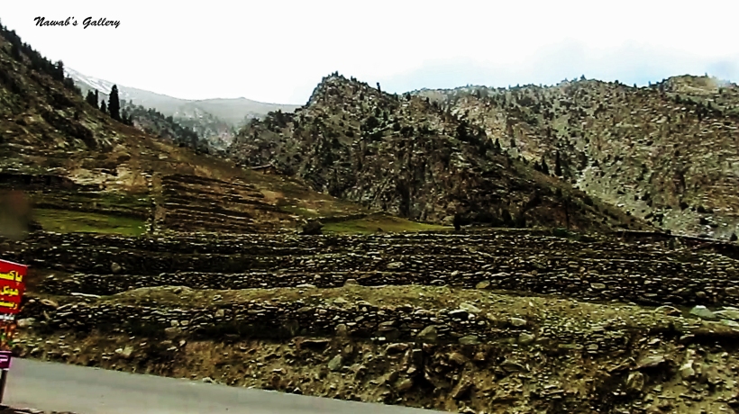
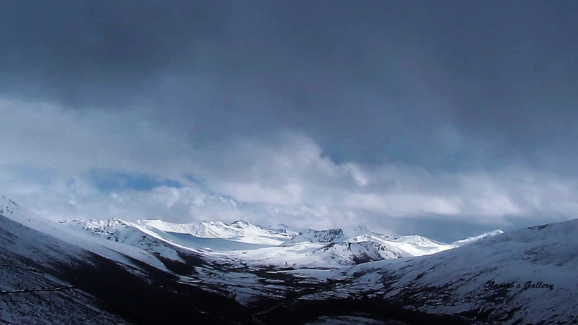
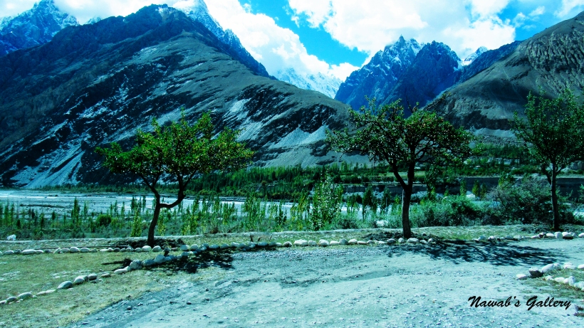
Passing five tunnels with a total distance of seven kilometers and two bridges we come into the Gojal Valley. Spreading over an area of about 8,500 sq.km Gojal is the largest tehsil of Gilgit-Baltistan and is a series of small and large valleys sharing a border with Hunza, China, and Afghanistan. Gojal comprises of nearly 25 villages and Gulmit is the largest settlement and also, a tehsil headquarter. Some of the popular settlements of Gojal include Gulmit, Passu, Khyber, Nazimabad, Sost (Aminabad) Khudabad, Misgar, Shimshal. Except for the Shimshal, Misgar and Chipursan valleys, all the villages of Gojal can be viewed from the Karakorum Highway (KKH) and are easily accessible.
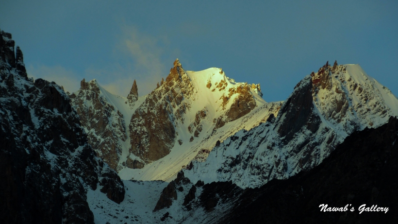
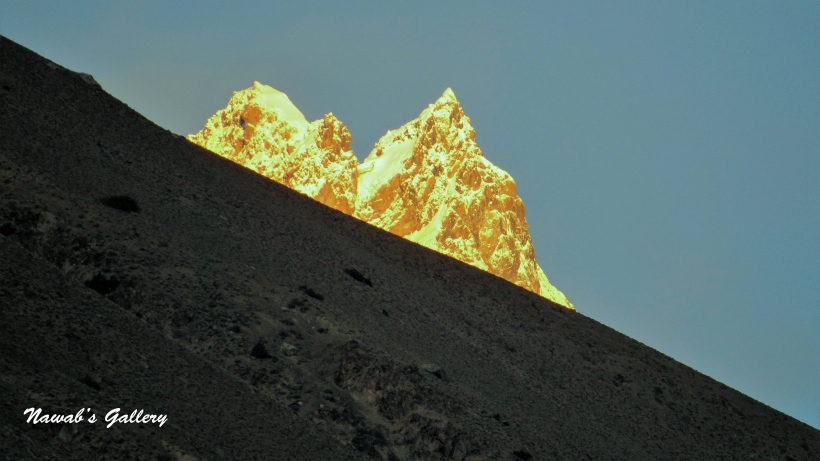
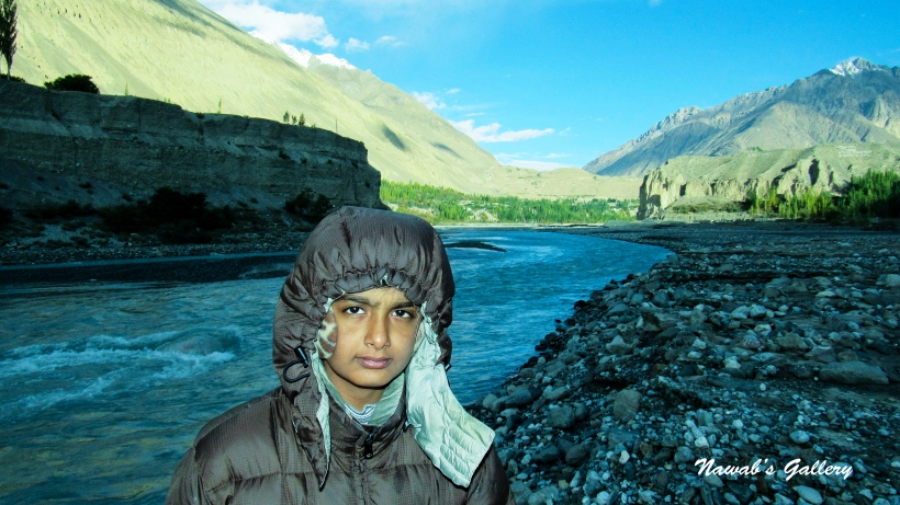
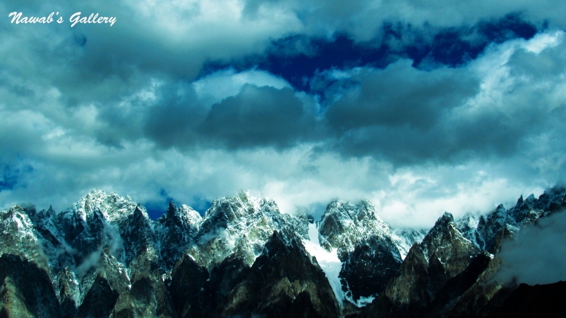
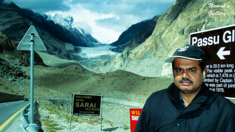
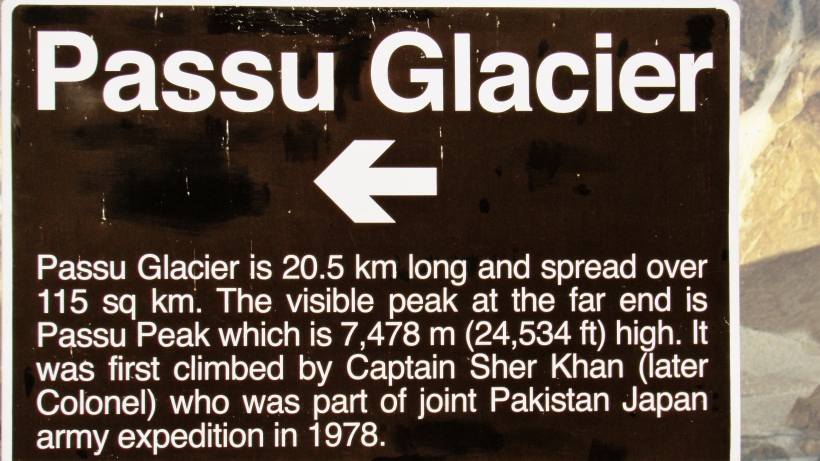
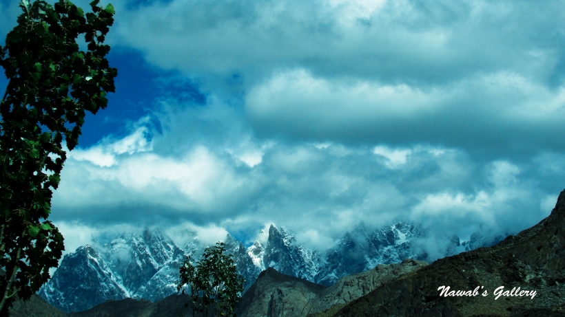
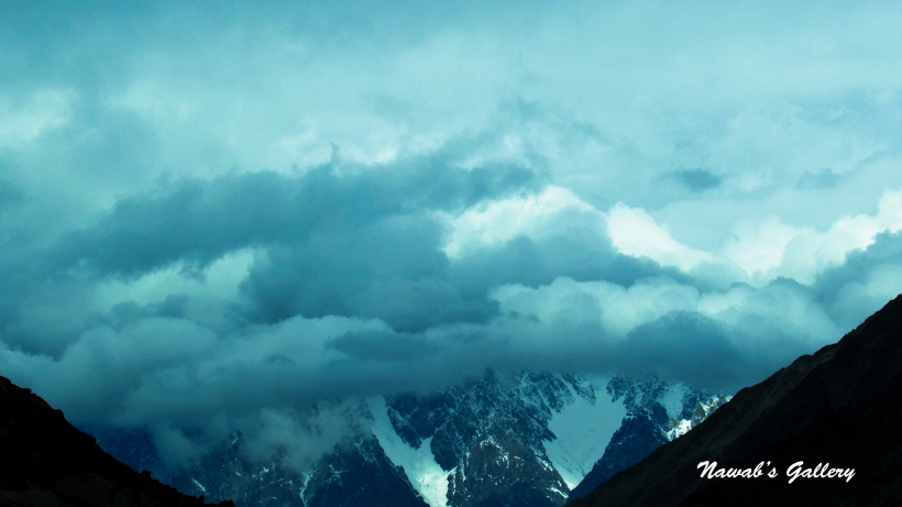
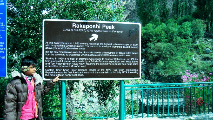
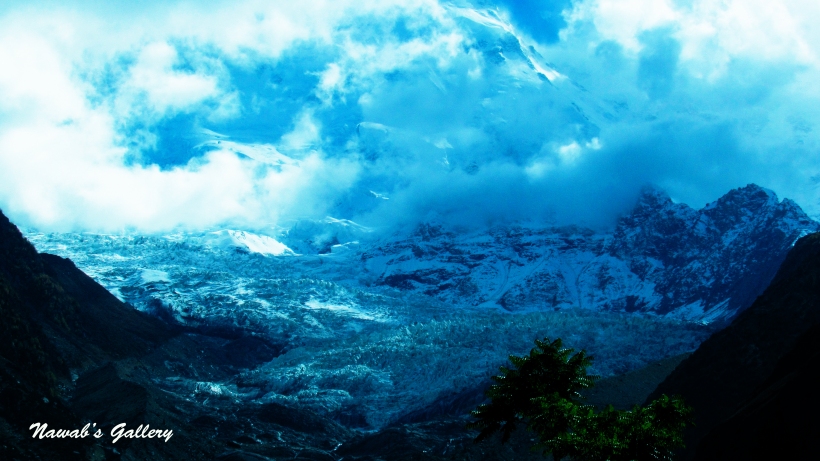
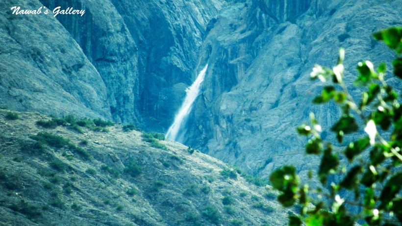
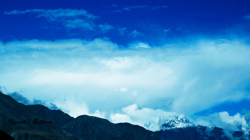
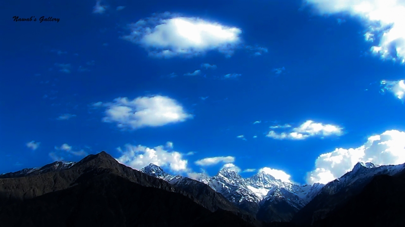
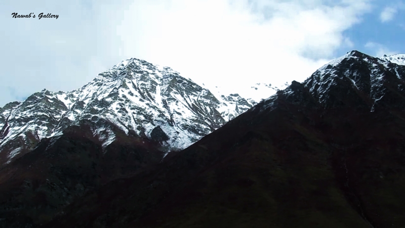
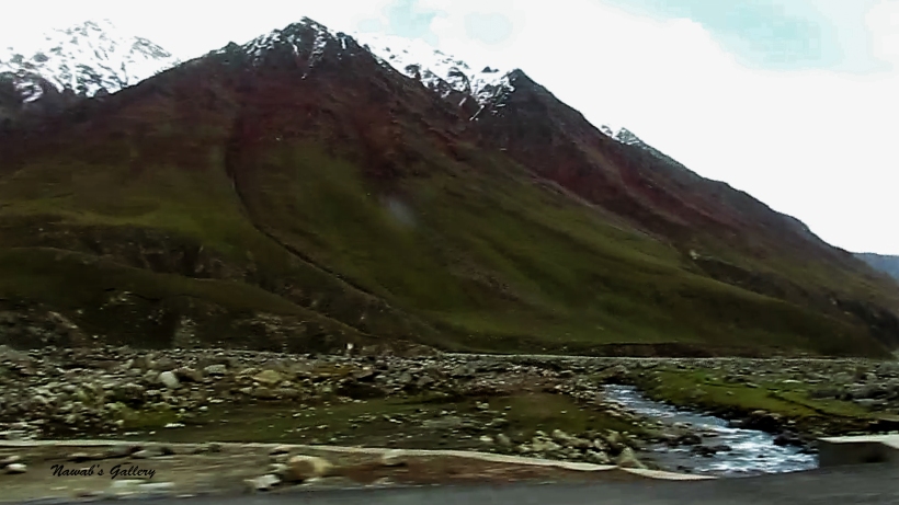
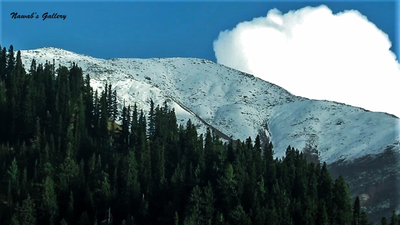
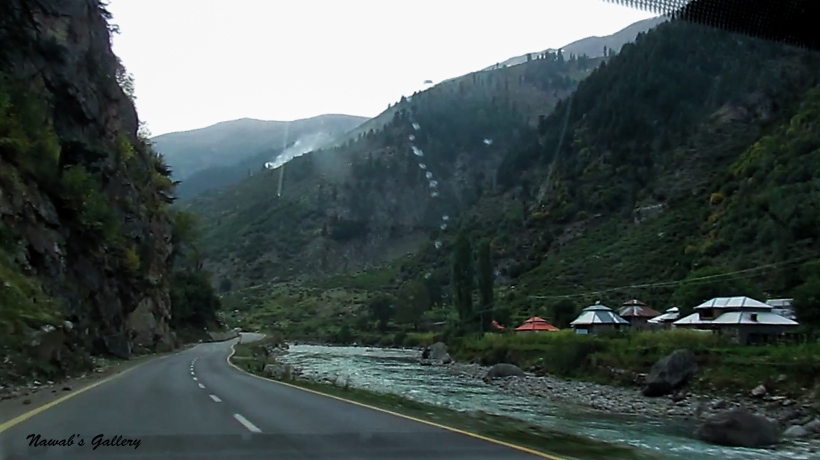
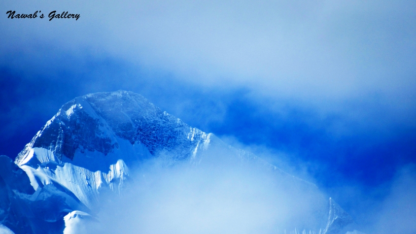
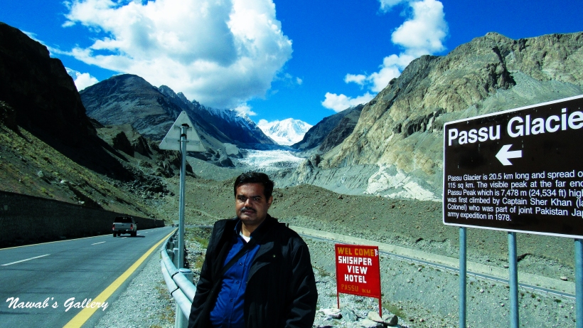
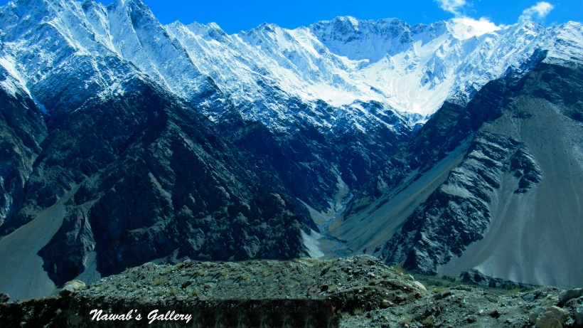
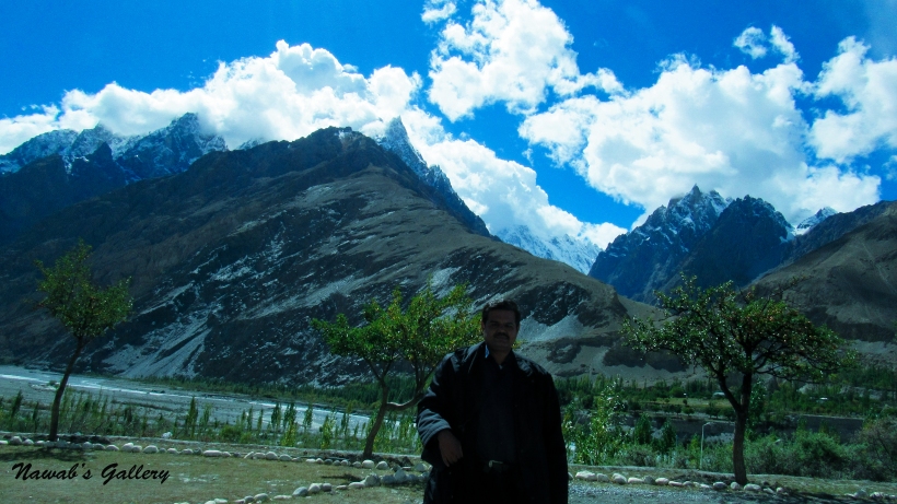
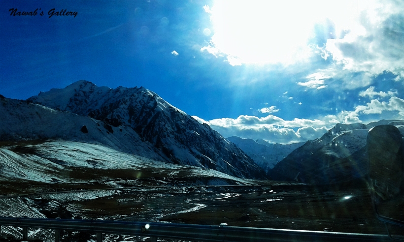
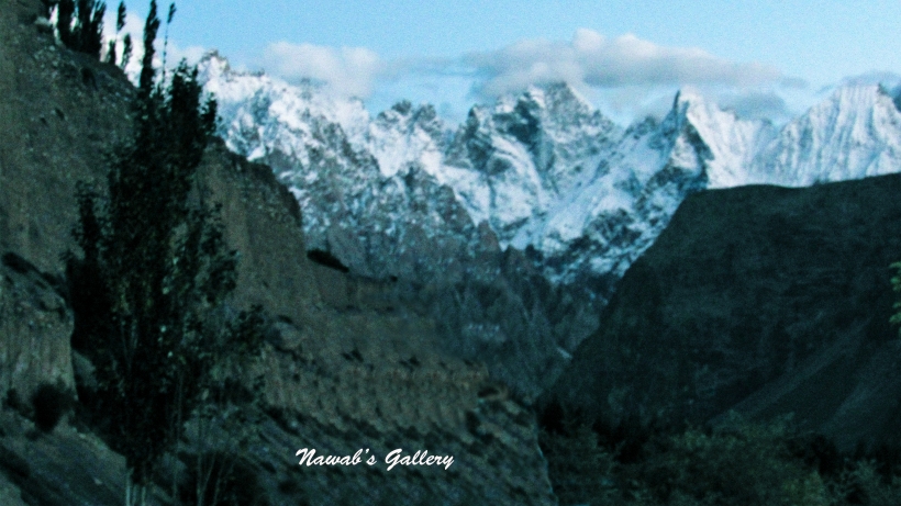
We were travelling on smooth and outstanding highway, with magnificent mountains on one side, the splendid river on the other and the stunningly beautiful area in front. Travelling in between this unspoiled natural beauty and the pollution free environment we reached Passu. Passu is a small village some 15KM from Gulmit. We stop at the Passu viewpoint for the magnificient view of Passu Peaks and the Glacier. Passu Peaks are also known as Passu Cones or Passu Cathedral and is 6,106 meters (20,033 ft.) high. Also nearby are the high peaks of Passu Sar, Shispare Sar, and Bature. Batura also known as Batura Sar at the height of 7,795 metres (25,574 ft) is the 10th highest mountain in Pakistan and 25th highest on Earth, and the 57 kilometres (35 miles) long Batura Glacier is considered as the 5th largest and longest glacier outside the polar region.
Getting hold of some photographs we took up our journey again toward Sust. We are all extremely excited as we are now moving toward our main target of the whole journey, the Khunjerab Pass, for which we have travelled this far, an approximate distance of nearly 3000KM.
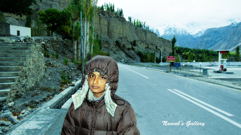
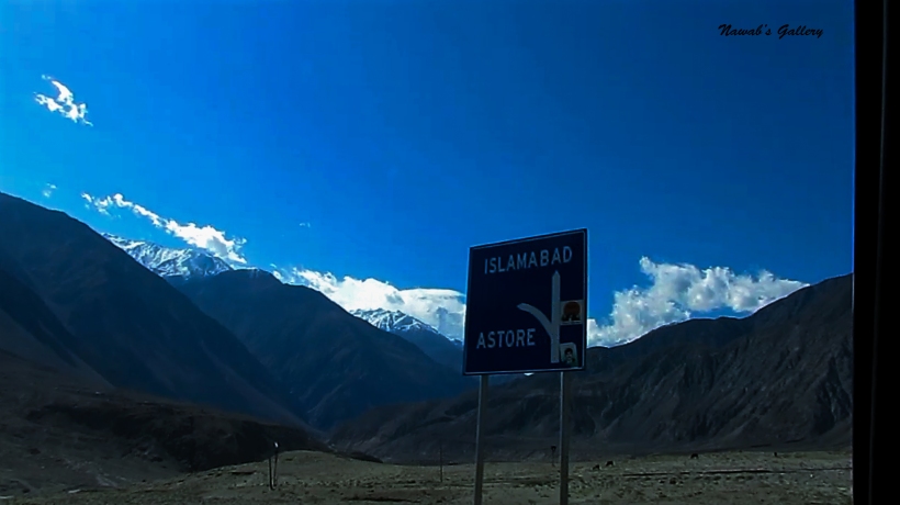
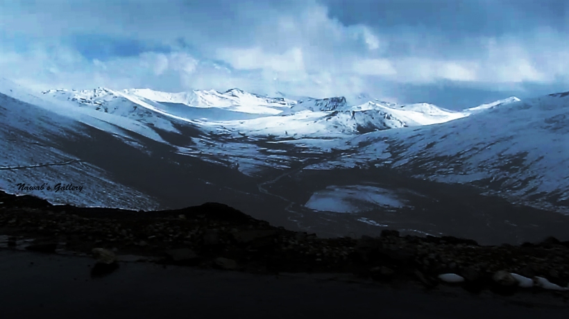
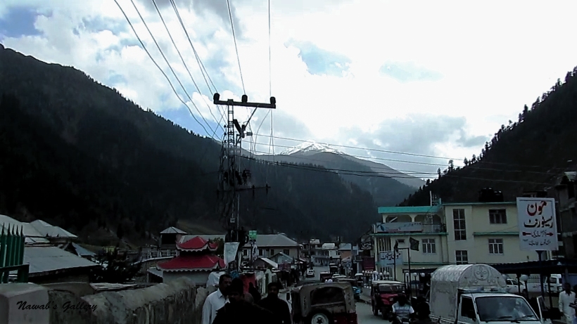
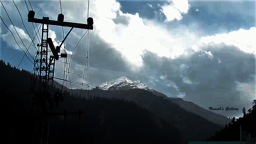
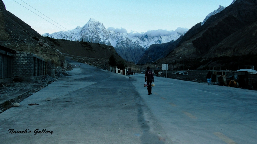
After about 2 Hours and covering 38KM from Pasu we reached the town of Sust, this is the last town on Karakoram Highway before Pak-China Boarder. At 10,000 ft high-altitude, Sust is a custom and immigration point for passenger and cargo transport because all traffic crossing the Pakistan-China border passes through this town. Sust also acts as a dry port between Pakistan and China, facilitating customs clearance and other formalities for goods moving from the Chinese regions of Kasghar and Sinkyang to the commercial centers of Pakistan. A passenger bus service offered by The Northern Areas Transport Corporation (NATCO) operates daily between Pakistan and China. However, the border crossing is open only between May 1 and October 15. During wintertime, the roads are choked up by snowfall.
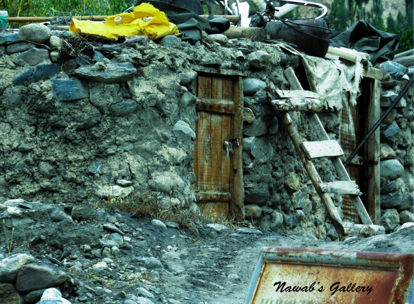
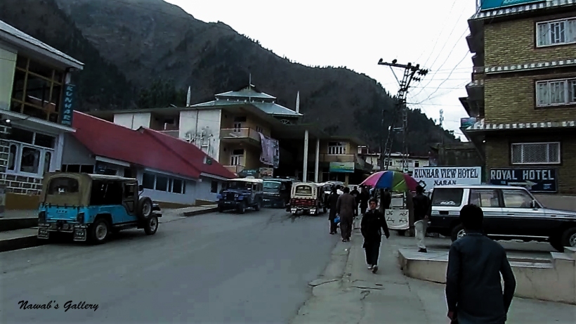
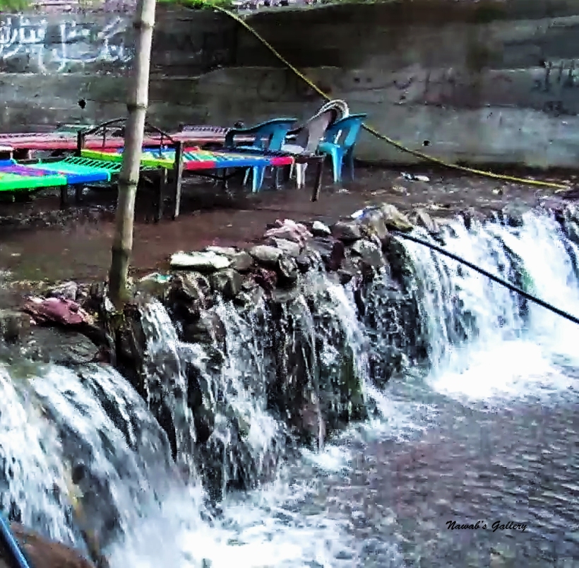
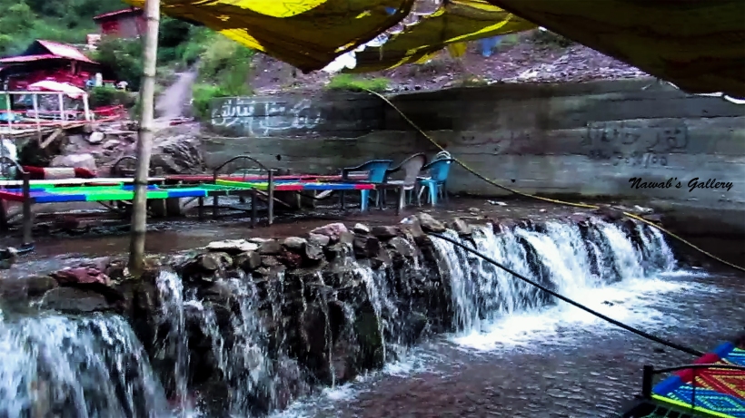
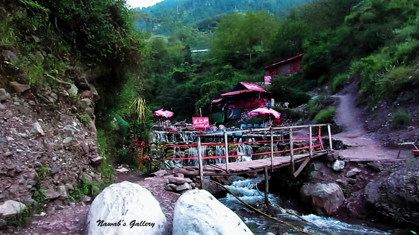
At Sust there are many shops, hotels and restaurant on both side of the Karakoram Highway, the actual village of Sust is up above the mountains. People travelling between Pakistan and China stop at this place for food and rest, they even stay here a night before going toward their destination. We likewise hold a cup of tea and some refreshment at Sust before starting our journey toward Khunjerab again.
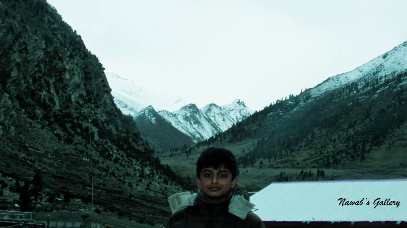
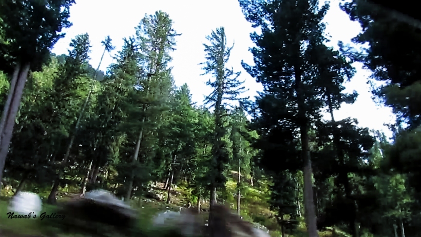
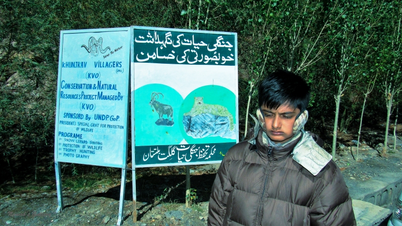
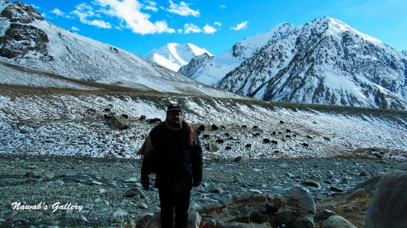
It is the autumn season and the trees are changing colors and creating a brilliant panorama of the valley. Travelling some kilometers along the marvelous surrounding we reached the Khun-zerav National Park (wrongly known as Khunjerab National Park). This park was established in April 1979 primarily as a mean to protect the Marco Polo sheep, which is only found in this area in Pakistan. The other animals inhabit this area are Siberian Ibex, Brown Bear, Tibetan Red Fox, Tibetan Wolf, Golden Marmot, Yak, Markhor and Snow Leopard. Encompassing a total field of 226,913 hectares this park is contiguous to the Taxkorgan Nature Reserve in China. Setting off at an altitude of above 4,000m and going up in the mountains till 4,934m at Khunjerab Pass, this park is considered one of the highest altitude parks in the world. It is likewise one of the most important alpine biodiversity regions within Pakistan.
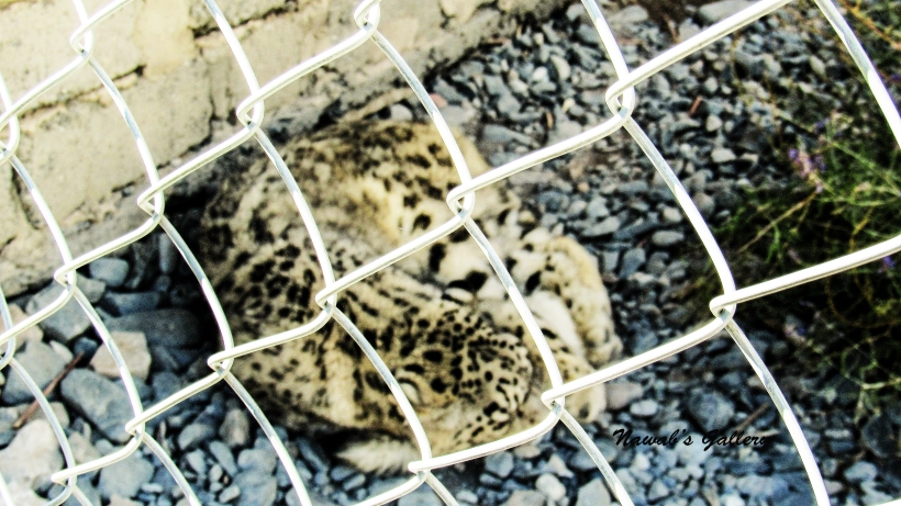
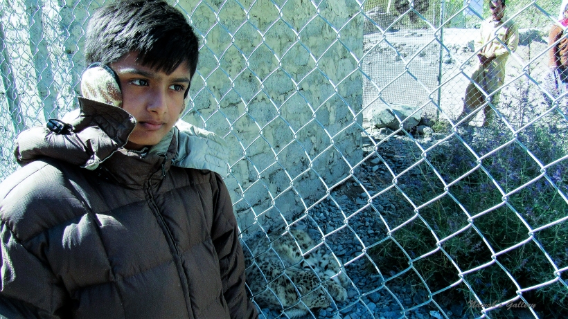
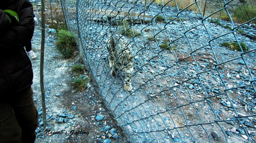
We stop at the ingress of the park to pay a token fee. There they hold a baby Markhor which is being treated for the injuries. Moving around a little we also noticed a snow leopard in a coop. The security person stationed at the park told us that they have rescued this leopard cub from the icy river water from drowning, as it was separated from its herd. And today they are taking good care of him and will leave him back on the mountain as soon as it reached a young age.
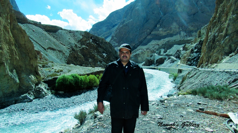
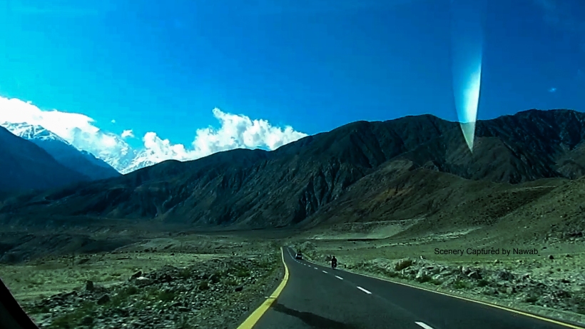
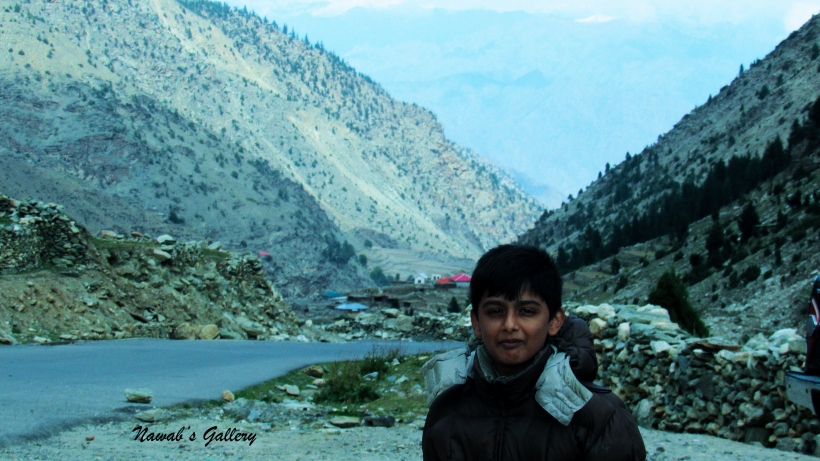
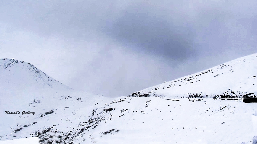
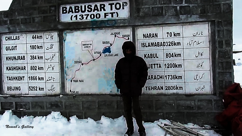
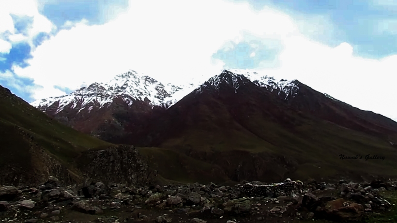
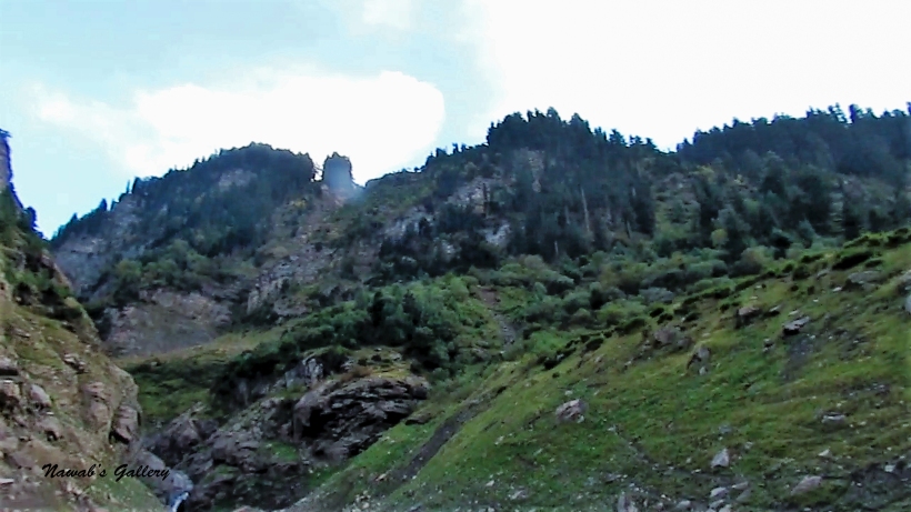
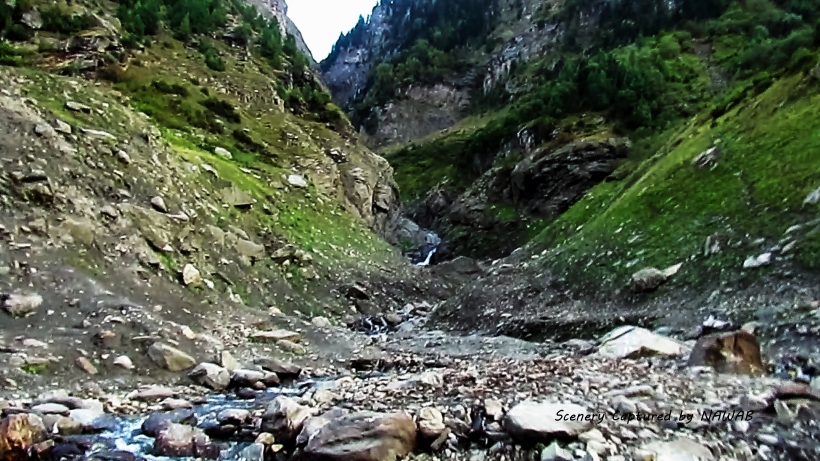
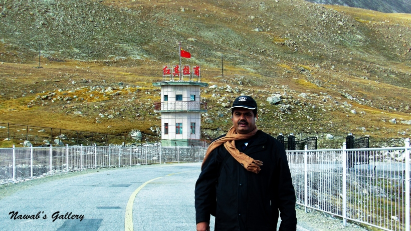
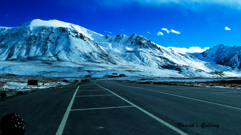
The journey toward Khunjerab Pass again started after grabbing some pictures of the area. We are going along a very scenic route with many streams flowing from the surrounding mountains into the Khunjerab River, the beautiful trees that we have witnessed the first time in our life, snow covered mountains and many tunnels on the highway to protect it from land sliding. As we move forward we were climbing up on the mountains and the snow started to appear on the side of the road. Along the path to the Khunjerab Pass, there was a check post were a security officer told us that it will be very much colder up on the mountains and we should get into warmer clothes, then we immediately doubled our wearing. Khunjerab Pass is nearly 83 KM from Sust and it took us nearly 2 hours to arrive at the Khunjerab Pass.
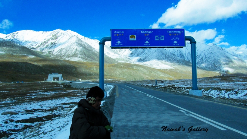
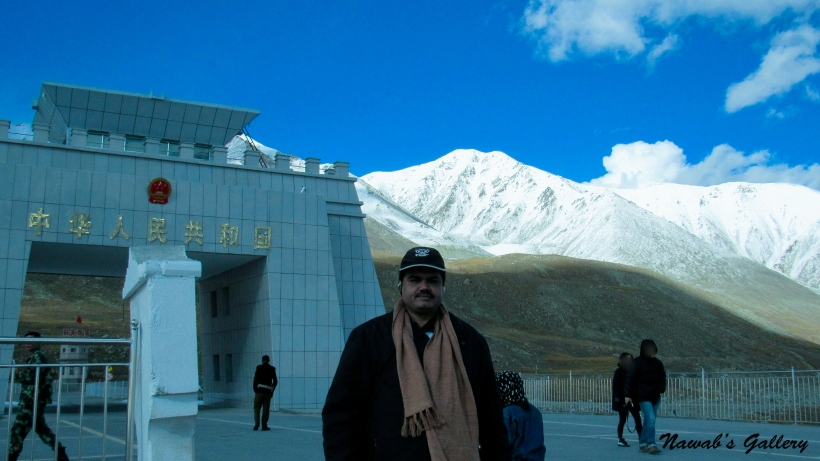
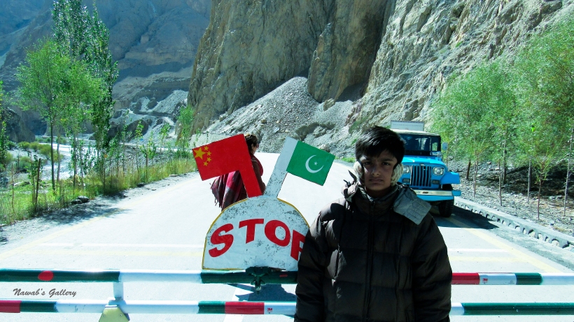
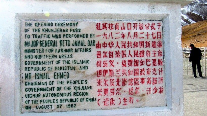
Pakistan and China, the two friendly neighboring countries separated by the highest mountainous range of the world The Karakorum ranges. The only place connecting two countries together over this mountainous range is The Khunjerab Pass, at the altitude of 16,200 foot. Khunjerab Pass is the spot where the Highest Paved international road The Karakorum Highway enters China connects Xinjiang Uyghur Autonomous Region of China and Gilgit–Baltistan of Pakistan. Since this place is at such high altitude, after November the crossing might be closed because of heavy snow. But after April, the pass is again open and can be visited at any time.
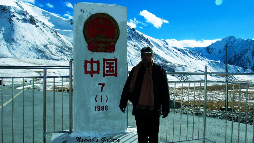
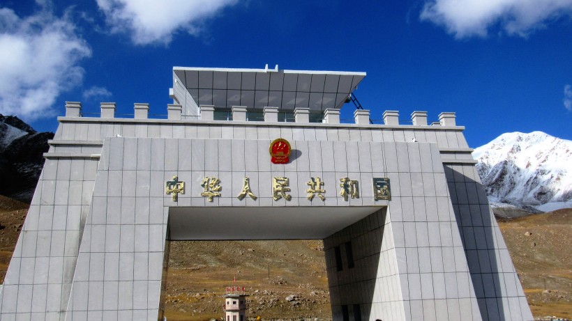
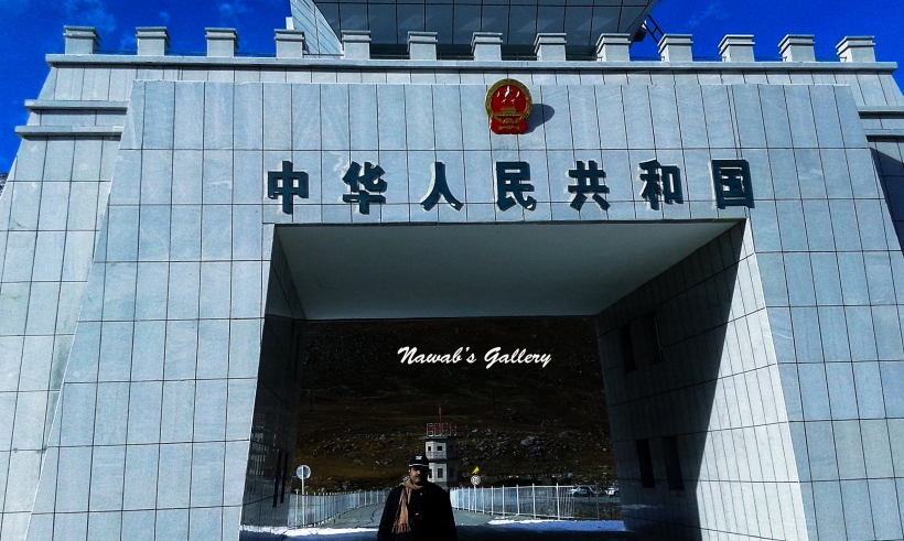
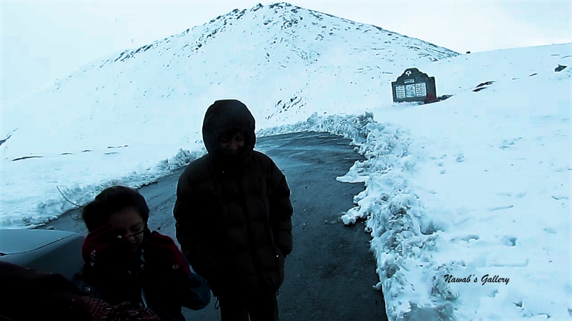
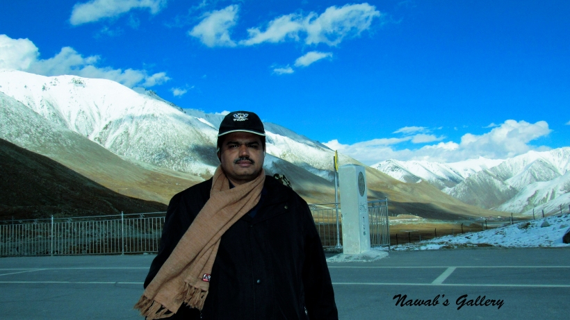
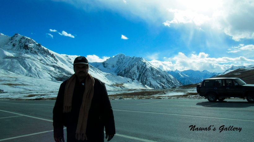
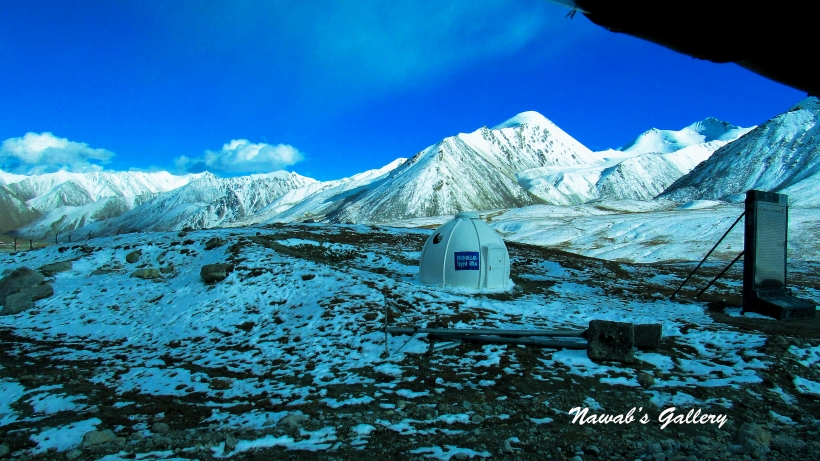
We started out of the jeep and went toward the zero point, this is the place where Karakoram Highway enter the China. As Khunjerab Pass is at 16,200 ft. above one can experience difficulty in breathing at that altitude but we have been eating lots of apricot on our way as apricot provide oxygen to the blood. We are walking on the Karakoram Highway toward zero-point and there is snow on both sides of the highway. Children immediately jumped in the snow and start playing with it. There is a very beautiful monument construct at the zero point between Pakistan and China border, enjoying the cold weather, scenic beauty of the surrounding and awesome panorama of the snow covered mountains we reached the monument. At the monument, there are security persons posted from both sides of the countries and also tourist visiting from both sides of Pakistan and China. We had the photo session with tourist from China as well as with the security officers.
While roaming around and taking photographs we asked the security officer from China if we can just visit the other side of the border, inside china for a few minutes, they allow us for just 5 minutes to go on the other side. We were so pleased, we thanked the officers, and with a brisk walk, we move toward the Khunjerab Zero Point and then entered into the China. With this, our domestic trip has now become foreign tripJ. We walked inside the China till their check post, grab some photographs, children pick up the snow and started playing with it and saying that this is Chinese Snow. With this adventure, we return back to Pakistan side and thanked the officers again for allowing us to enter into China.
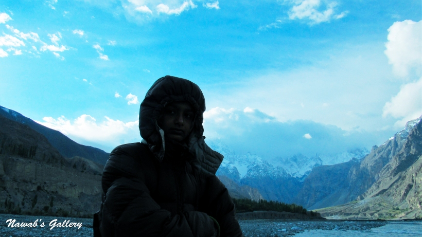
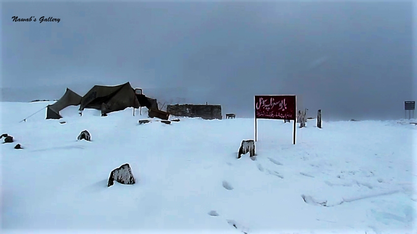
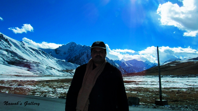
As we were relishing the sensational beauty of the surrounding the snow fall suddenly started and the temperature dropped very rapidly with the high breeze. We return back to our jeep and had some snacks and a cup of tea that we have taken with us from Sost. One matter to remember while visiting Khunjerab is that there are no restaurants or shops at the Khunjerab Pass so you have to bring eatables and tea or coffee with you if you desire to hold a picnic at that place.
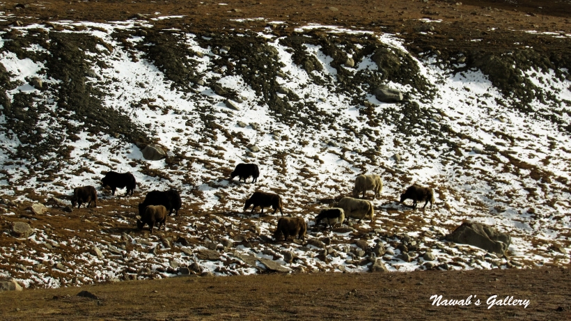
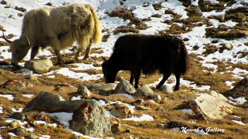
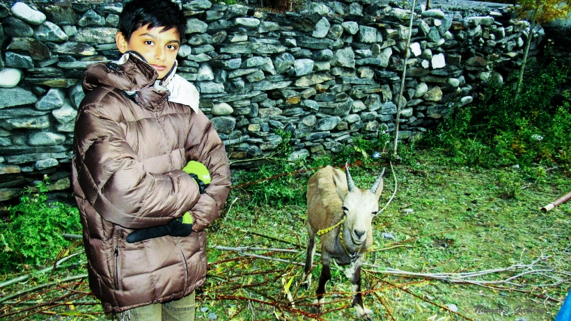
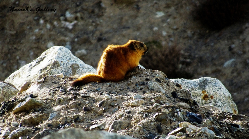
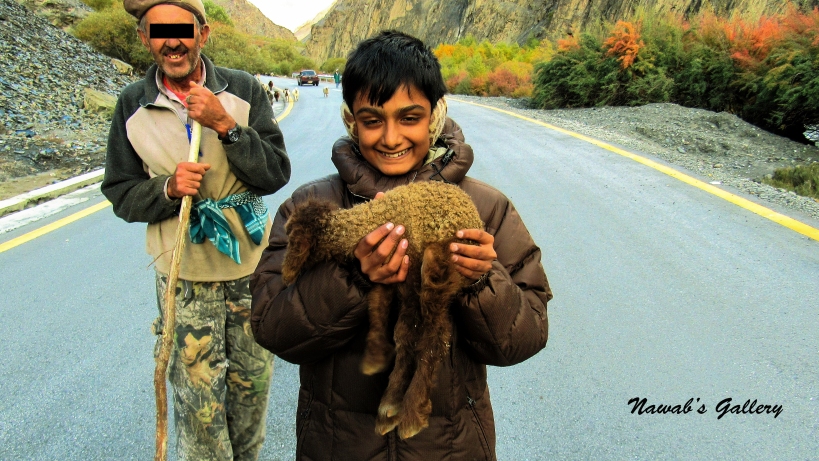
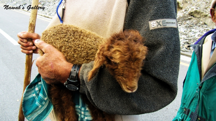
After finishing tea, we embarked our downhill journey back toward Sost from 16,200 feet. Along the way back we stop at many places to occupy in the scenic beauty. At one spot there were many Yaks grazing on the ground along the Khunjerab River and at another spot, there was a Golden marmot sitting on the rock at the side of Karakoram Highway, we also stop to watch Markhors and Ibex grazing high up on the mountain. Many herds of sheep and goats were also moving along the Karakoram Highway these herds belong to the locals living in nearby villages between Sost and Khunjerab.
Travelling along the magnificent Karakoram Highway we reach Sost before sunset. We roamed around Sost market for a while and then we went into our hotel, we opt to stay at Khunjerab Hotel, it is a good hotel situated on a small hill alongside the Karakoram Highway but a little outside the Sost main area.
Videos:
==================================
From South End to North End of Pakistan (Karachi to Khunjerab)
Day 2: Saiful Muluk Lake (Naran)
Day 5: Gilgit to Karimabad (Hunza Valley)
Day 7: Hunza Valley (Attaabad Lake, Hoper Glacier – Nagar Valley, Altit Fort)
Day 9: Eagle’s Nest (Duikar) to Aliabad
Day 10: Pakistan-China Border, Khunjerab Pass [Zero Point] (Gulmit, Passu, Sust)
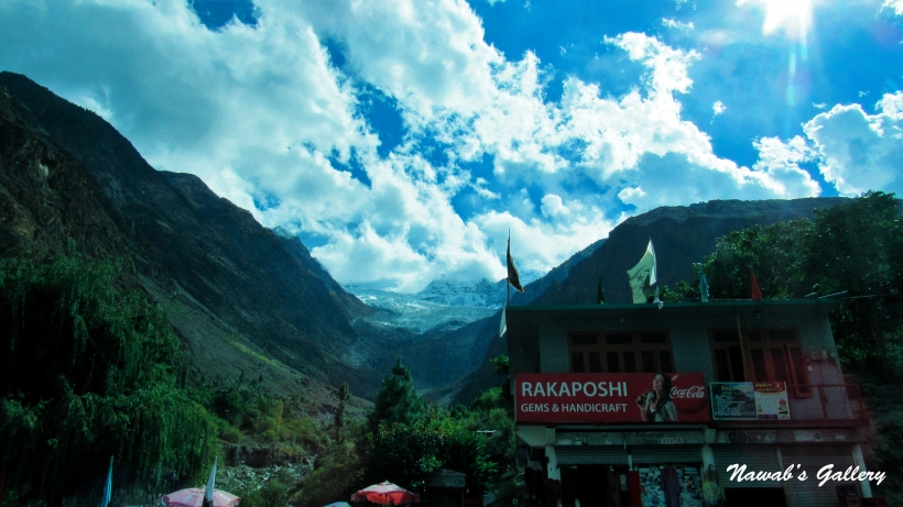
Day 11: Sust to Gilgit (Aliabad, Rakaposhi)